Synthetic Satellite Dataset Generation
Solve the challenge of obtaining large datasets for satellite detection model training with unlimited unique, high-quality synthetic images.
Solve the challenge of obtaining large datasets for satellite detection model training with unlimited unique, high-quality synthetic images.
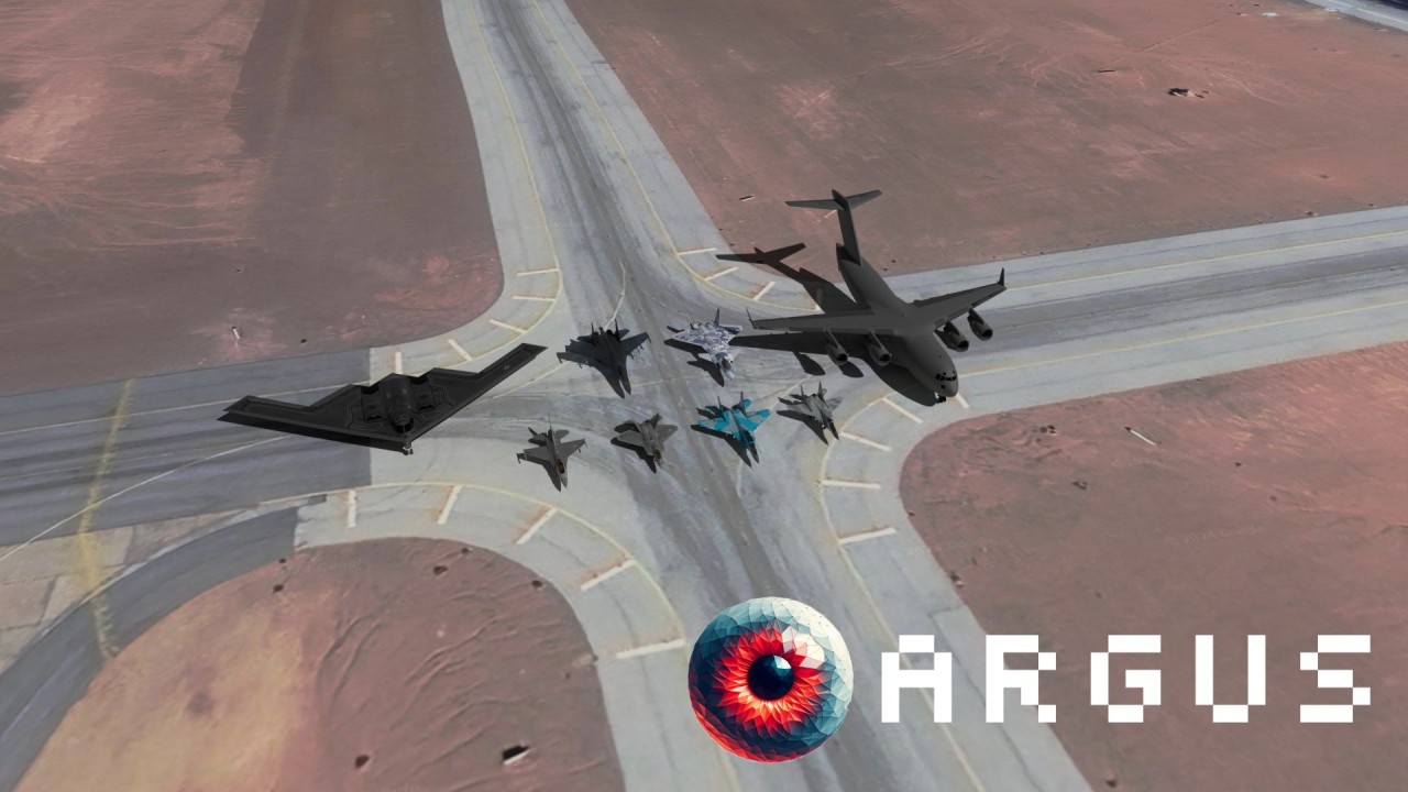
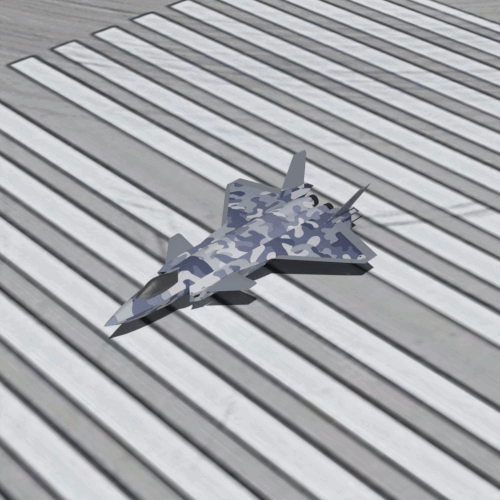
Argus solves the challenge of obtaining large datasets for model training with the ability to create an unlimited number of unique, high-quality images using a combination of raytraced 3D models and satellite terrain data. Argus positions aircraft in random locations along runways and aprons at varying orientations.
Hybrid augmentation with Argus synthetic datasets allows aircraft detection computer vision models to achieve significantly higher accuracy. Argus feeds hungry machine learning pipelines which can never consume enough data.
Multiple parameters ensure diverse datasets
Comprehensive parameters for maximum dataset diversity
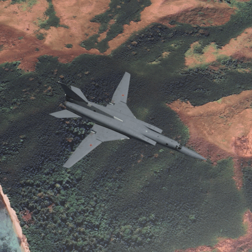
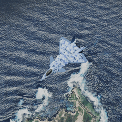
Argus uses cameras that rotate around targets at different elevations and orientations.
This ensures that a broad set of images are available for training of each target aircraft.
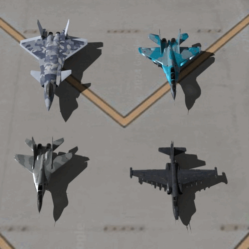
Aircraft are rendered in a variety of liveries, including original bare-metal materials, as well as disruptive camouflage patterns. Argus incorporates abstract materials – unusual textures and colors that push the boundaries of real-world scenarios.
Shadows can deceive computer vision models into identifying phantom aircraft. Argus simulates different times of day by positioning a virtual sun, resulting in realistic shadow scenarios. Annotations specify aircraft boundaries excluding long shadows.
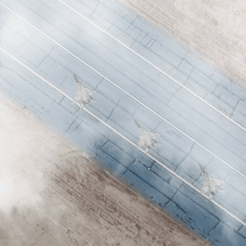
Cloud layers are applied to images to obscure aircraft and simulate weather conditions.
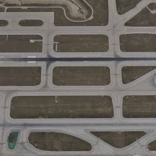
Unlike many synthetic datasets that isolate objects on plain backgrounds, Argus places aircraft in natural runway environments with expected lines, markings, carrier platforms, and grass or dirt shoulders.
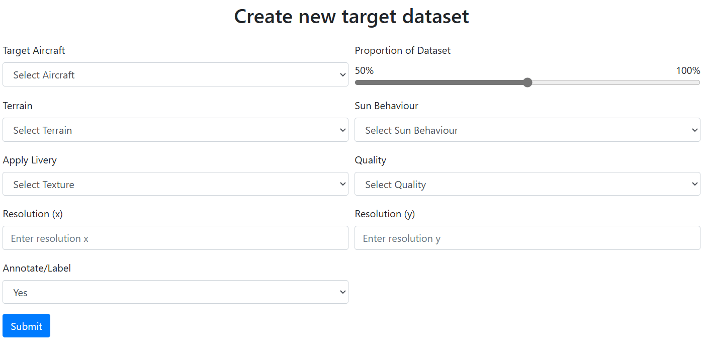
A simple user interface that empowers users to effortlessly create massive datasets. Simply specify your target aircraft and desired environment variables, and Argus takes care of the rest.
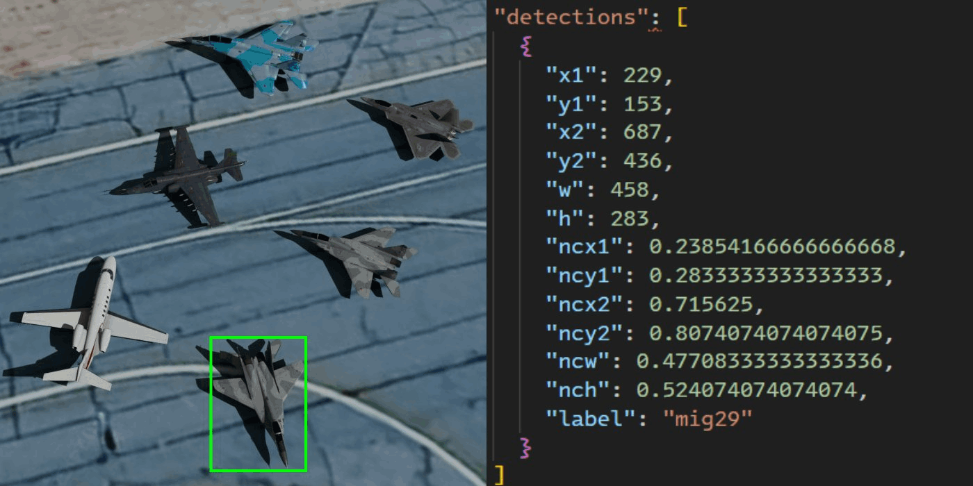
Automatic annotation data is generated and stored in a database and easily exported as training instructions compatible with any computer vision model.